San Vicente
Utseende
San Vicente kan syfta på:
Geografi
[redigera | redigera wikitext]Argentina
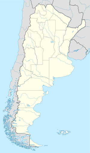
[redigera | redigera wikitext]San Vicente i Argentina.
- Partido de San Vicente, kommun, Buenos Aires, 35°05′00″S 58°30′00″V / 35.08333°S 58.5°V
- San Vicente, Misiones, 26°37′00″S 54°08′00″V / 26.61667°S 54.13333°V
Chile
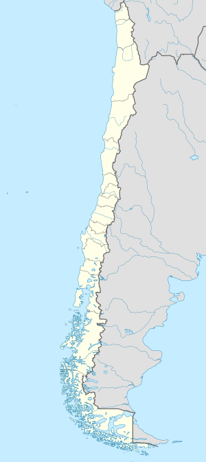
[redigera | redigera wikitext]San Vicente i Chile.
- San Vicente, Chile, Región de O'Higgins, Provincia de Cachapoal, 34°26′00″S 71°05′00″V / 34.43333°S 71.08333°V
Colombia
[redigera | redigera wikitext]San Vicente i Colombia.
- San Vicente de Chucurí (ort), Santander, 6°52′52″N 73°24′35″V / 6.881°N 73.40977°V
- San Vicente (kommun), Colombia, 6°20′00″N 75°20′00″V / 6.33333°N 75.33333°V
Costa Rica
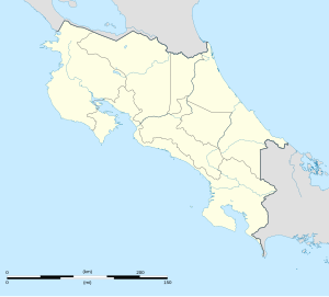
[redigera | redigera wikitext]San Vicente i Costa Rica.
Filippinerna
[redigera | redigera wikitext]- San Vicente (Camarines Norte) – kommun i provinsen Camarines Norte
- San Vicente (Norra Samar) – kommun i provinsen Norra Samar
- San Vicente (Palawan) – kommun i provinsen Palawan
- San Vicente (Södra Ilocos) – kommun i provinsen Södra Ilocos
Guatemala
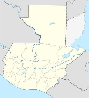
[redigera | redigera wikitext]San Vicente i Guatemala.
- Municipio de San Vicente Pacaya, kommun i Departamento de Escuintla
- San Vicente Pacaya, kommunhuvudort, Departamento de Escuintla, 14°24′58″N 90°38′21″V / 14.41611°N 90.63917°V
Honduras
[redigera | redigera wikitext]San Vicente i Honduras.
- San Vicente Centenario (ort), Departamento de Santa Bárbara, 14°53′00″N 88°17′00″V / 14.88333°N 88.28333°V
Mexiko
[redigera | redigera wikitext]San Vicente i Mexiko.
- San Vicente Coatlán (kommunhuvudort), Oaxaca, 16°23′19″N 96°50′38″V / 16.38852°N 96.8439°V
- San Vicente, Tlanalapa, 19°47′03″N 98°34′54″V / 19.78406°N 98.58178°V
- San Vicente, Jiménez, 29°06′54″N 100°56′25″V / 29.1151°N 100.94034°V
- San Vicente, Vanegas, 24°10′09″N 100°53′01″V / 24.16918°N 100.88369°V
- San Vicente, Nayarit, Rosamorada, 21°57′02″N 105°17′50″V / 21.95043°N 105.2971°V
- San Vicente, Apaseo el Alto, 20°28′05″N 100°32′38″V / 20.46806°N 100.54389°V
- San Vicente, Aguascalientes, Asientos, 22°03′01″N 102°02′57″V / 22.05014°N 102.0493°V
- San Vicente, San Felipe, 21°14′07″N 101°20′35″V / 21.2353°N 101.34306°V
- San Vicente, Jilotepec, 20°02′14″N 99°38′30″V / 20.03722°N 99.64167°V
- San Vicente, Nuevo Urecho, 19°16′34″N 101°50′45″V / 19.27611°N 101.84583°V
- San Vicente, Copainalá, 17°07′17″N 93°12′49″V / 17.12139°N 93.21361°V
- San Vicente, Churintzio, 20°12′07″N 102°07′17″V / 20.20194°N 102.12139°V
- San Vicente, Puebla, Jolalpan, 18°15′45″N 98°59′01″V / 18.2625°N 98.98361°V
- San Vicente, Guerrero, Coahuayutla de José María Izazaga, 18°12′31″N 101°41′20″V / 18.20869°N 101.68899°V
- San Vicente, Chapala, 20°17′51″N 103°18′05″V / 20.2975°N 103.30139°V
Spanien
[redigera | redigera wikitext]San Vicente i Spanien.
- San Vicent del Raspeig, ort, Valencia, Provincia de Alicante, 38°23′47″N 0°31′32″V / 38.3964°N 0.5255°V
- San Vicente de la Sonsierra (kommunhuvudort), La Rioja, Provincia de La Rioja, 42°33′48″N 2°45′39″V / 42.56321°N 2.76071°V
- San Vicente de la Barquera (kommunhuvudort), Kantabrien, Provincia de Cantabria, 43°23′06″N 4°23′58″V / 43.38509°N 4.39934°V
- Mondoñedo (ort), Galicien, Provincia de Lugo, 43°24′N 7°24′V / 43.4°N 7.4°V
- Curtis (ort i Spanien, Galicien, Provincia da Coruña, lat 43,08, long -8,07), 43°05′00″N 8°04′00″V / 43.08333°N 8.06667°V
| Det här är en förgreningssida, som består av en lista på olika betydelser hos artikelnamnet. Om du kom hit via en wikilänk i en annan artikel, gå gärna tillbaka dit och korrigera länken så att den pekar direkt på den sida som länken avser. |


