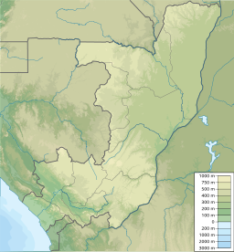
Nioundou
Utseende
| Nioundou | |
| Berg | |
| Land | |
|---|---|
| Departement | Niari |
| Höjdläge | 760 m ö.h. |
| Koordinater | 4°46′42″S 13°23′17″Ö / 4.77833°S 13.38806°Ö |
| Tidszon | WAT (UTC+1) |
| Geonames | 2256158 |
Nioundou är ett berg i Kongo-Brazzaville.[1] Det ligger i departementet Niari, i den sydvästra delen av landet, 220 km väster om huvudstaden Brazzaville. Toppen på Nioundou är 760 meter över havet.[1]
Källor
[redigera | redigera wikitext]- ^ [a b] Rieffel, J.-M. (1971) (PDF). Étude pédologique de la zone Dolisie–Loudima–Kimongo. Brazzaville: Orstom. sid. 21–23. https://horizon.documentation.ird.fr/exl-doc/pleins_textes/divers16-01/05366.pdf

