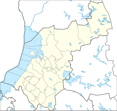
Mall:Kartposition Norra Österbotten
Utseende
| namn | Norra Österbotten | |||
|---|---|---|---|---|
| gräns koordinater | ||||
| 66.4858 | ||||
| 22.7789 | ←↕→ | 30.1384 | ||
| 63.4291 | ||||
| kartans mittpunkt | 64°57′27″N 26°27′31″Ö / 64.95745°N 26.45865°Ö | |||
| bild | Finland Northern Ostrobothnia Region.svg | |||

| ||||
| namn | Norra Österbotten | |||
|---|---|---|---|---|
| gräns koordinater | ||||
| 66.4858 | ||||
| 22.7789 | ←↕→ | 30.1384 | ||
| 63.4291 | ||||
| kartans mittpunkt | 64°57′27″N 26°27′31″Ö / 64.95745°N 26.45865°Ö / 64.95745; 26.45865 | |||
| bild | Finland Northern Ostrobothnia Region.svg | |||

| ||||