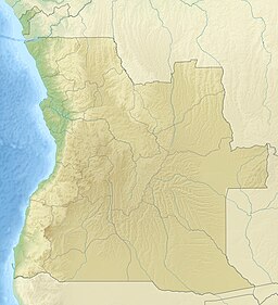
Lovua
Utseende
| Lovua | |
| Lowa, Rio Luvua, Rio Luvo, Lóvua | |
| Vattendrag | |
| Länder | |
|---|---|
| Provins | Lunda Norte, Kasaï |
| Koordinater | 6°05′44″S 20°36′31″Ö / 6.09567°S 20.60856°Ö |
| Tidszon | WAT (UTC+1) |
| Geonames | 211251 |
Lovua är en flod i Angola och Kongo-Kinshasa, ett biflöde till Kasaï.[1] En del av floden ingår i statsgränsen.[2]
Källor
[redigera | redigera wikitext]- ^ ”Territoire de Kamonia” (på franska). Données par territoire. Cellule d'Analyses des Indicateurs de Développement. 31 mars 2021. Arkiverad från originalet den 24 maj 2021. https://web.archive.org/web/20210524125613/https://www.caid.cd/index.php/donnees-par-province-administrative/province-de-kasai/territoire-de-kamonia/?secteur=fiche. Läst 15 september 2021.
- ^ The Geographer (1974). ”Angola – Democratic Rep. of the Congo (Zaire) Boundary” (på engelska). International Boundary Study (Washington DC: Office of the Geographer, Bureau of Intelligence and Research) 144: sid. 16. http://library.law.fsu.edu/Digital-Collections/LimitsinSeas/pdf/ibs144.pdf. Läst 15 september 2021.

