Livingstonefallen
Utseende
| Livingstonefallen (Chutes de Livingstone) | |
| Cataractes Livingstone | |
| Vattenfall | |
| Länder | |
|---|---|
| Departement/Provins | Brazzaville, Pool, Kinshasa, Kongo-Central |
| Koordinater | 4°50′00″S 14°30′00″Ö / 4.83333°S 14.5°Ö |
| Tidszon | WAT (UTC+1) |
| Geonames | 2258389 |
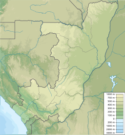
Livingstonefallen (franska: Chutes de Livingstone eller Chutes Livingstone) är en serie vattenfall och forsar i Kongofloden mellan Kongo-Brazzaville och Kongo-Kinshasa. Fallen sträcker sig mellan Malebodammen – mellan huvudstäderna Brazzaville och Kinshasa – och Matadi. Det övre loppet utgör gräns mellan städerna och mellan departementet Pool i Kongo-Brazzaville och provinsen Kongo-Central i Kongo-Kinshasa, medan det nedre loppet korsar Kongo-Central. Henry Morton Stanley gav fallen namnet Livingstone Falls efter David Livingstone.[1][2]
Källor
[redigera | redigera wikitext]- ^ Droogmans, Hubert (1901) (på franska). Notices sur le Bas-Congo. Bryssel: Imprimerie Vanbuggenhoudt. sid. 260–263. https://archive.org/details/noticessurlebasc00droo/
- ^ The Geographer (1972). ”Republic of the Congo (Congo) – Democratic Republic of the Congo (Zaire) Boundary” (på engelska). International Boundary Study (Washington DC: Office of the Geographer, Bureau of Intelligence and Research) 127: sid. 7. http://library.law.fsu.edu/Digital-Collections/LimitsinSeas/pdf/ibs127.pdf. Läst 3 januari 2022.


