Gounwolaila District
Utseende
| Gounwolaila District | |
| Gounwolaila | |
| Distrikt | |
| Land | |
|---|---|
| Region | Gbarpolu County |
| Höjdläge | 304 m ö.h. |
| Koordinater | 7°13′37″N 9°57′11″V / 7.22691°N 9.95311°V |
| Tidszon | UTC (UTC+0) |
| Geonames | 9645007 |
|
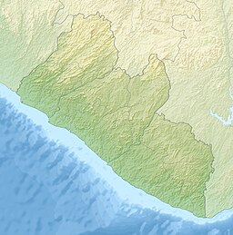
Läge i Liberia
| |
Gounwolaila District är ett distrikt i Liberia.[1] Det ligger i regionen Gbarpolu County, i den centrala delen av landet, 140 km nordost om huvudstaden Monrovia.
Källor
[redigera | redigera wikitext]- ^ Gounwolaila District hos Geonames.org (cc-by); post uppdaterad 2014-10-05; databasdump nerladdad 2015-05-23

