
Fil:Singapore location map.svg

Storleken för denna PNG-förhandsvisning av denna SVG-fil: 800 × 487 pixlar. Andra upplösningar: 320 × 195 pixlar | 640 × 390 pixlar | 1 024 × 624 pixlar | 1 280 × 780 pixlar | 2 560 × 1 559 pixlar | 3 261 × 1 986 pixlar.
Originalfil (SVG-fil, standardstorlek: 3 261 × 1 986 pixlar, filstorlek: 181 kbyte)
| Denna fil tillhandahålls av Wikimedia Commons. Informationen nedan är kopierad från dess filbeskrivningssida. |
Sammanfattning
| Beskrivning |
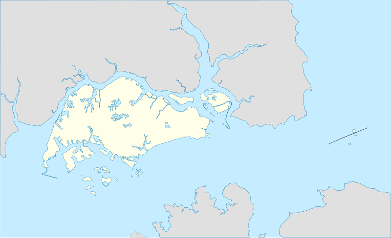
English: Singapore location map
Français : Carte de localisation de Singapour |
| Datum | 09-02-2010 |
| Källa | Pedra Branca Map.svg |
| Skapare | Queix |
Licensiering
Jag, upphovsrättsinnehavaren av detta verk, publicerar härmed det under följande licenser:

|
Tillstånd ges att kopiera, distribuera och/eller modifiera detta dokument under villkoren i GNU Free Documentation License, Version 1.2 eller senare version publicerad av Free Software Foundation, utan oföränderliga avsnitt, framsidestexter eller baksidestexter. En kopia av licensen ingår i avsnittet GNU Free Documentation License. |
Denna fil har gjorts tillgänglig under licenserna Creative Commons 4.0 Internationell, 3.0 Unported, 2.5 Generisk, 2.0 Generisk och 1.0 Generisk.
- Du är fri:
- att dela – att kopiera, distribuera och sända verket
- att remixa – att skapa bearbetningar
- På följande villkor:
- erkännande – Du måste ge lämpligt erkännande, ange en länk till licensen och indikera om ändringar har gjorts. Du får göra det på ett lämpligt sätt, men inte på ett sätt som antyder att licensgivaren stödjer dig eller din användning.
- dela lika – Om du remixar, transformerar eller bygger vidare på materialet måste du distribuera dina bidrag under samma eller en kompatibel licens som originalet.
Du får själv välja den licens du vill använda.
Filhistorik
Klicka på ett datum/klockslag för att se filen som den såg ut då.
| Datum/Tid | Miniatyrbild | Dimensioner | Användare | Kommentar | |
|---|---|---|---|---|---|
| nuvarande | 15 januari 2014 kl. 04.26 | | 3 261 × 1 986 (181 kbyte) | Seloloving | Added missing peninsula shape. |
| 15 januari 2014 kl. 04.22 |  | 3 261 × 1 986 (179 kbyte) | Seloloving | Singapore as of 2014. | |
| 10 februari 2010 kl. 14.03 |  | 3 261 × 1 986 (238 kbyte) | Queix | {{Information |Description={{en|1=Singapore location map}} {{fr|1=Carte de localisation de Singapour}} |Source=WP |Author={{U|Queix}} |Date=09-02-2010 |Permission= |other_versions= }} Category:SVG maps Category:Location maps [[Category:Singapore] |
Filanvändning
Följande 7 sidor använder den här filen:
Global filanvändning
Följande andra wikier använder denna fil:
- Användande på af.wikipedia.org
- Användande på an.wikipedia.org
- Användande på ar.wikipedia.org
- Användande på ast.wikipedia.org
- Användande på azb.wikipedia.org
- Användande på az.wikipedia.org
- Användande på bn.wikipedia.org
- ভৌগোলিক আয়তন অনুযায়ী সার্বভৌম রাষ্ট্র ও নির্ভরশীল অঞ্চলসমূহের তালিকা
- শ্রী শ্রীনিবাস পেরুমল মন্দির, সিঙ্গাপুর
- সিঙ্গাপুর উদ্ভিদ উদ্যান
- উডল্যান্ডস, সিঙ্গাপুর
- মডিউল:অবস্থান মানচিত্র/উপাত্ত/সিঙ্গাপুর
- মডিউল:অবস্থান মানচিত্র/উপাত্ত/সিঙ্গাপুর/নথি
- সেংকাং রিভারসাইড পার্ক
- সেংকাং ভাস্কর্য উদ্যান
- সিস্টার্স দ্বীপের মেরিন উদ্যান
- বিশ্বের প্রণালীসমূহের তালিকা
- জামে মসজিদ, চীনা টাউন
- মালবার মসজিদ
- সুলতান মসজিদ
- ইস্তানা উদ্যান
- কেপেল দ্বীপ
- বুকিত পাঞ্জাং
Visa mer globalt användande av denna fil.