
Fil:Guildford UK locator map.svg

Storleken för denna PNG-förhandsvisning av denna SVG-fil: 790 × 599 pixlar. Andra upplösningar: 317 × 240 pixlar | 633 × 480 pixlar | 1 013 × 768 pixlar | 1 280 × 971 pixlar | 2 560 × 1 942 pixlar | 1 425 × 1 081 pixlar.
Originalfil (SVG-fil, standardstorlek: 1 425 × 1 081 pixlar, filstorlek: 948 kbyte)
| Denna fil tillhandahålls av Wikimedia Commons. Informationen nedan är kopierad från dess filbeskrivningssida. |
| Beskrivning | Equirectangular map projection on WGS 84 datum, with N/S stretched 160% |
| Datum | |
| Källa |
|
| Skapare | Nilfanion, created using Ordnance Survey data |
| Tillstånd (Återanvändning av denna fil) |
Denna fil har gjorts tillgänglig under licensen Creative Commons Erkännande-Dela Lika 3.0 Unported Erkännande: Contains Ordnance Survey data © Crown copyright and database right
|
Filhistorik
Klicka på ett datum/klockslag för att se filen som den såg ut då.
| Datum/Tid | Miniatyrbild | Dimensioner | Användare | Kommentar | |
|---|---|---|---|---|---|
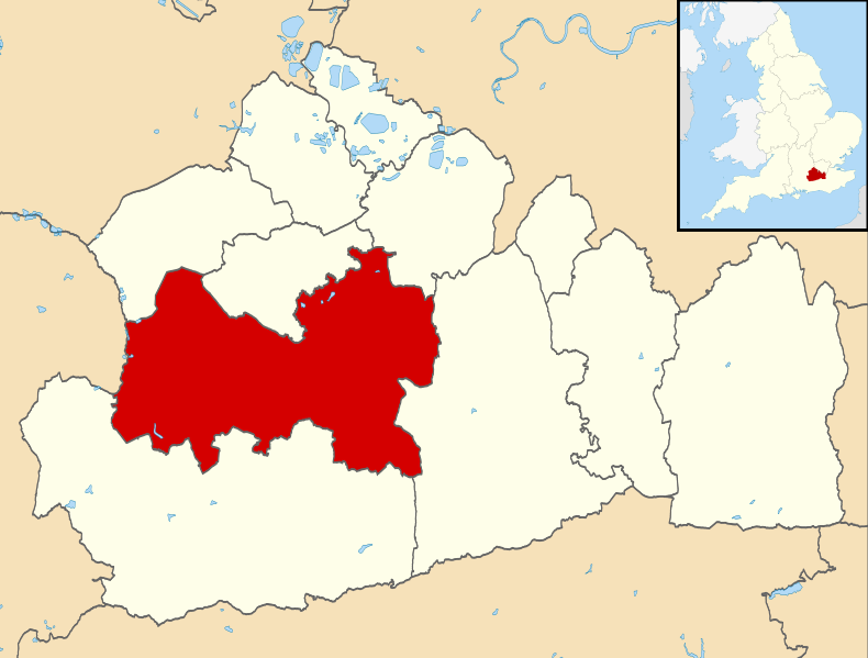
| nuvarande | 2 augusti 2011 kl. 10.25 | | 1 425 × 1 081 (948 kbyte) | Nilfanion | {{Information |Description=Map of Surrey, UK with Guildford highlighted. Equirectangular map projection on WGS 84 datum, with N/S stretched 160% |Source=Ordnance Survey [https://www.ordnancesur |
Filanvändning
Följande sida använder den här filen:
Global filanvändning
Följande andra wikier använder denna fil:
- Användande på cy.wikipedia.org
- Användande på en.wikipedia.org
- Guildford
- Effingham, Surrey
- University of Surrey
- Wisley
- East Horsley
- Ockham, Surrey
- Hog's Back
- Borough of Guildford
- Pirbright
- Guildford Flames
- Send, Surrey
- Shalford, Surrey
- GuilFest
- Guildford Cathedral
- Shackleford
- Merrow, Surrey
- Hogs Back Brewery
- Clandon Park House
- Pirbright Institute
- Farley Green, Surrey
- Royal Grammar School, Guildford
- Ripley, Surrey
- Guildford Spectrum
- West Clandon
- Guildford railway station
- RHS Garden Wisley
- Compton, Guildford
- Worplesdon railway station
- Stoke Park, Guildford
- Hatchlands Park
- East Clandon
- Burpham, Surrey
- George Abbot School
- Ash Vale railway station
- Academy of Contemporary Music
- Shere
- Albury, Surrey
- Surrey Scorchers
- Artington
- Ash, Surrey
- King's College, Guildford
- London Road (Guildford) railway station
- Chilworth, Surrey
- St Martha's Hill
- Holmbury St Mary
- Winterfold Forest
- Clandon railway station
- Horsley railway station
- Guildford City F.C.
Visa mer globalt användande av denna fil.